FloodingLakeSystem Node
Simulates lake formation on a terrain by filling topographic depressions. The algorithm analyzes the terrain elevation model, detects enclosed basins, and incrementally floods them to estimate lake water depths and extents. It applies a depression-filling method to determine the resulting water surface elevation.
Category
Hydrology
Inputs
| Name | Type | Description |
|---|---|---|
| elevation | VirtualArray | Terrain elevation. |
Outputs
| Name | Type | Description |
|---|---|---|
| water_depth | VirtualArray | Output water depth map representing flooded areas. |
Parameters
| Name | Type | Description |
|---|---|---|
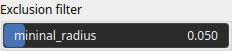
| mininal_radius | Float | Minimum radius (in normalized terrain units) used to define the smallest valid lake surface. Water bodies smaller than this threshold are discarded. |
Example
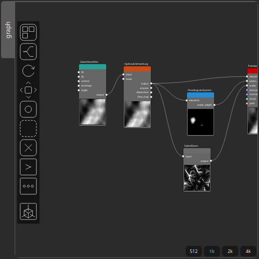
Corresponding Hesiod file: FloodingLakeSystem.hsd. Use [Ctrl+I] in the node editor to import a hsd file within your current project.
Note
Example files are kept up-to-date with the latest version of Hesiod. If you find an error, please open an issue.