Path Node
A polyline defined by a series of connected points (x, y) with elevation data (z). Paths can represent linear features such as roads, rivers, or boundaries.
Category
Geometry/Path
Inputs
| Name | Type | Description |
|---|---|---|
| background | VirtualArray | No description |
Outputs
| Name | Type | Description |
|---|---|---|
| path | Path | Outputs the path as a set of directed points (x, y) and elevations (z). |
Parameters
| Name | Type | Description |
|---|---|---|
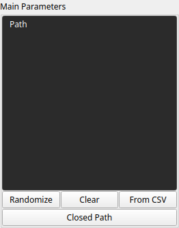
| Closed Path | Bool | No description |
| Path | Cloud | The sequence of points defining the path. Each point consists of coordinates (x, y) and an elevation (z). |
Example
No example yet
No example available for this node.