ReverseMidpoint Node
ReverseMidpoint generates an heightmap. It uses a polyline as a base, then recursively interpolate and displace midpoints to generate a terrain.
Category
WIP
Inputs
| Name | Type | Description |
|---|---|---|
| path | Path | Set of points (x, y) and elevations z. |
Outputs
| Name | Type | Description |
|---|---|---|
| heightmap | VirtualArray | Interpolated heightmap. |
Parameters
| Name | Type | Description |
|---|---|---|
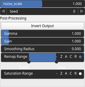
| noise_scale | Float | Added noise scaling. |
| Gain | Float | Mid-centered gain transformation applied to the elevation values. This is a non-linear recurve operator centered around the mid elevation (typically 0.5). Increasing the gain pushes values toward the minimum and maximum elevations, creating flatter low/high regions with a steeper transition around the midpoint. |
| Gamma | Float | Standard gamma correction applied to the elevation values. This is a monotonic power-law remapping that shifts emphasis toward low or high elevations, making the overall shape sharper or bulkier without changing its ordering. |
| Invert Output | Bool | Inverts the output values after processing, flipping low and high values across the midrange. |
| Remap Range | Value range | Linearly remaps the output values to a specified target range (default is [0, 1]). |
| Saturation Range | Value range | Modifies the amplitude of elevations by first clamping them to a given interval and then scaling them so that the restricted interval matches the original input range. This enhances contrast in elevation variations while maintaining overall structure. |
| Smoothing Radius | Float | Defines the radius for post-processing smoothing, determining the size of the neighborhood used to average local values and reduce high-frequency detail. A radius of 0 disables smoothing. |
| Seed | Random seed number | Random seed number. The random seed is an offset to the randomized process. A different seed will produce a new result. |
Example
No example yet
No example available for this node.