Erosion — Thermal vs Hydraulic
Hesiod ships two families of erosion. Reach for them after you have a base heightmap (see Getting Started).
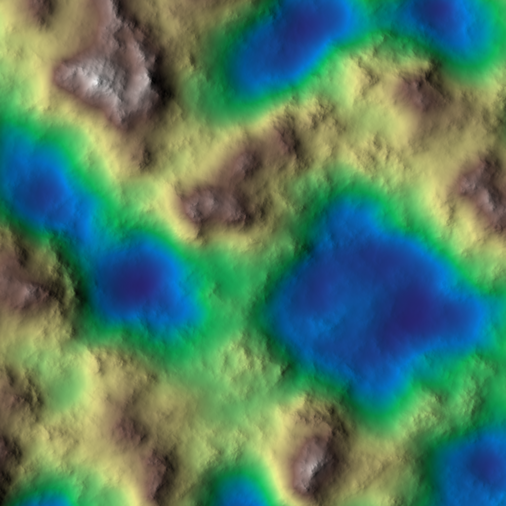 The base terrain these recipes start from. Source graph:
 erosion-before.hsd.
Thermal erosion
Material slumps downhill once a slope exceeds the angle of repose (talus angle): peaks soften, debris collects as scree at the base. Use it to make raw noise read as weathered rock.
Thermal— the workhorse; smooths slopes past a talus threshold.ThermalScree— accumulates scree/talus at slope bases.ThermalFlatten— flattens toward stable plateaus.ValleyFill,DepressionFilling,DepositionFillHoles— deposition-side cleanup (fill pits and basins).
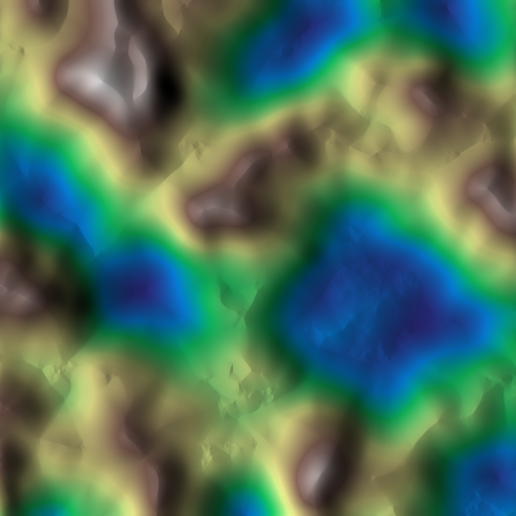
NoiseFbm → Thermal. Source graph: erosion-thermal.hsd.
Hydraulic erosion
Simulated water flows downhill, picking up and depositing sediment: it carves drainage channels and river valleys and lays down alluvial deposits.
HydraulicParticle— the workhorse; particle-based water erosion.HydraulicStreamLog— stream-power channel carving.HydraulicSaleve,HydraulicProcedural— alternative hydraulic models.Rifts— incised rift/channel features.
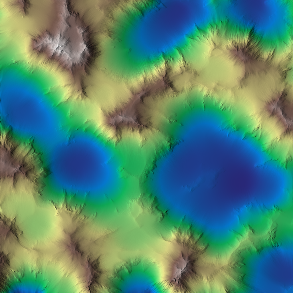
NoiseFbm → HydraulicParticle. Source graph: erosion-hydraulic.hsd.
Choosing and combining
A common recipe is thermal first, then hydraulic: thermal settles slopes to
a believable repose angle, then hydraulic carves drainage into that surface.
Most erosion nodes accept a mask input so you can confine erosion to chosen
areas — see Masks & Selectors (e.g. erode only steep
slopes with SelectSlope).
Related nodes
- Stratify —
Strata,StrataCells,StrataPlates,StrataTerrace(sedimentary banding/terracing). - Coastal —
CoastalErosionDiffusion,CoastalErosionProfile(shoreline erosion).
See also
- Heightmaps & Virtual Arrays — the data model.
- Using Physics-Based Procedures → Hydrology.